Mission Statement
Brazoria County Municipal Utility District No. 28, through the dedication of its Directors and Consultants, is committed to providing the highest quality service at the most economical costs to its customers and taxpayers.
Brazoria County Municipal Utility District No. 28, through the dedication of its Directors and Consultants, is committed to providing the highest quality service at the most economical costs to its customers and taxpayers.
The BRAZORIA COUNTY MUNICIPAL UTILITY DISTRICT NO. 28 will hold a public hearing on a proposed tax rate for the tax year 2026 on Wednesday, October 21, 2026 at 5:00 PM at Third Coast Bank, 1850 Pearland Parkway, Pearland, Texas 77581. Your individual taxes may increase at a greater or lesser rate, or even decrease, depending on the tax rate that is adopted and on the change in the taxable value of your property in relation to the change in taxable value of all other property. The change in the taxable value of your property in relation to the change in the taxable value of all other property determines the distribution of the tax burden among all property owners.
Visit Texas.gov/PropertyTaxes to find a link to your local property tax database on which you can easily access information regarding your property taxes, including information about proposed tax rates and scheduled public hearings of each entity that taxes your property.
Please keep BCMUD#28 informed when you change Management Company as this will allow us to contact you regarding remediation or improvements to the BCMUD facilities in your subdivision and also any potential cost sharing the board approves annually.
You may provide the information by using the contact drop down of this website. We would also encourage you to review the HOA Contact List PDF in the Neighborhoods section to ensure that the information is correct.
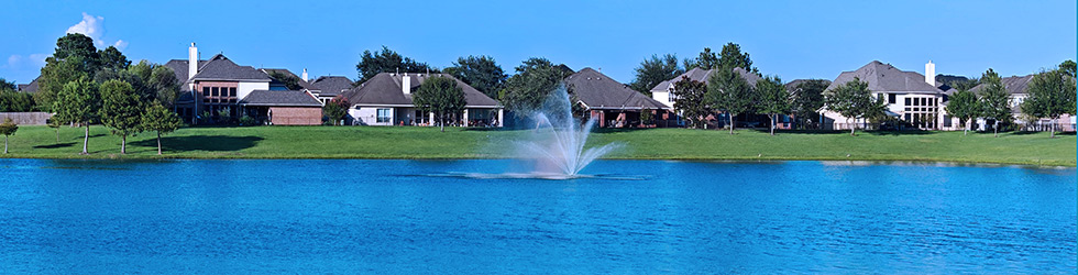
There are currently 20 subdivisions within the boundaries of Brazoria County Municipal Utility District No. 28 (“BC MUD 28”). In most of these subdivisions, there are detention or retention ponds designed to hold and distribute storm water runoff.
Retention ponds hold water indefinitely, while detention ponds are dry. During storms both types of ponds help prevent flooding by holding excess runoff and slowly releasing the water into the City of Pearland storm drainage system. BC MUD 28 is responsible for ensuring that the ponds effectively perform the functions they were constructed for, namely the efficient handling of storm water.
As part of an ongoing program to ensure that the ponds are working as designed, BC MUD 28’s contractor, Storm Water Solutions, performs quarterly inspections of all detention and retention ponds in the district to include 2 pump stations. Necessary repairs and remediations are performed following the quarterly inspections. These repairs include overseeding, debris removal, removal of overgrown vegetation, and general repairs of equipment.
Beginning in 2019, BCMUD 28 began a project to remediate erosion in the districts’ retention ponds by installing shore sox to prevent shoreline erosion and over silting of the ponds. The first shore sox installation was the Stonebridge retention pond.
After a competitive bid process in early 2026, the board of BCMUD 28 approved a contract with Silt Solutions Inc. in the amount of $919,517.00 to install shore sox around the detention ponds in the Canterbury Park subdivision. This remediation effort is ongoing and the Capital Improvements Plan for the detention and retention ponds in BCMUD 28 estimates that erosion repairs over the next 10-15 years will amount to approximately $4.3 million dollars. Much of this cost estimate will involve the installation of shore sox around the retention ponds to prevent erosion.